POLIBATAM’S LECTURERS TEACH TO MAKE A WARD MAP IN GALANG
In addition to carrying out teaching and research, a lecturer must carry out community service activities, which are part of the Tridharma of Higher Education. Lecturers of Geomatics Engineering Study Program, Department of Informatics Engineering Batam State Polytechnic have carried out this mandate by holding a Training (Bimtek) for Making Village and Sub-District Maps for Galang District, Batam City on Tuesday, August 6, 2019. Participants in this activity are Galang District officials , the Lurah, the Secretary of the Lurah, and the kelurahan apparatus in Galang District.
The head of this community service who is also the Head of the Geomatics Engineering Study Program, Sudra Irawan, in his speech at this event said that the origin of the idea for this activity from field observations found that many sub-districts and urban villages do not have maps of sub-districts and villages, even if there are maps that are not in accordance with the rules. cartographic. This is not only happening in the sub-districts and villages in Galang, but also in other areas in Indonesia. Batam State Polytechnic as a center for the development and application of science and technology wants to provide basic knowledge and skills on how to make maps, especially village maps, properly and correctly, he said.

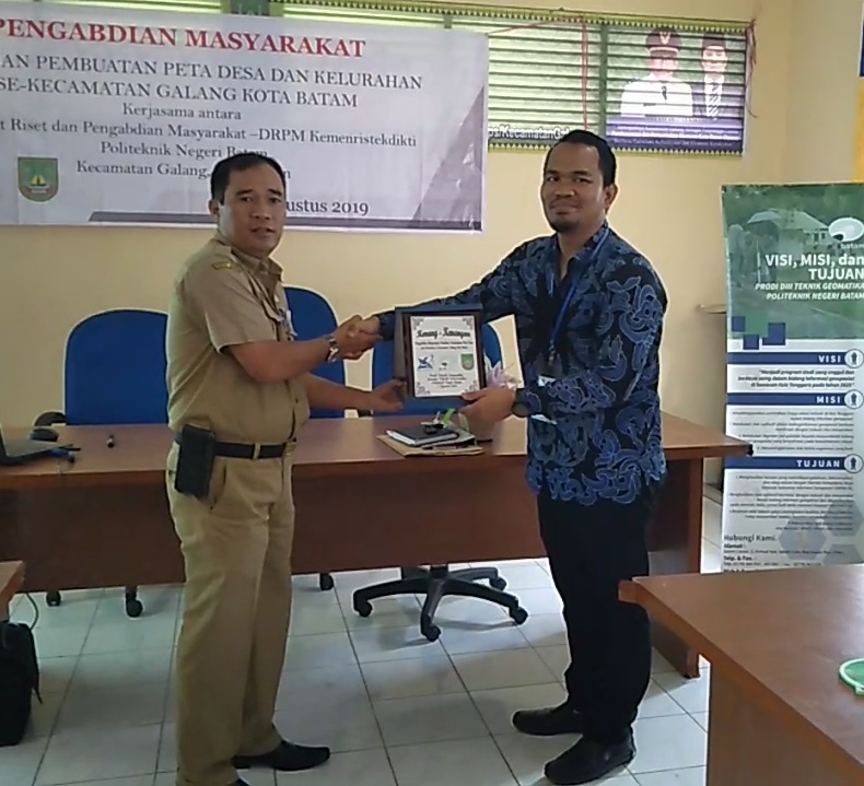
Ute Rambe, S.E, Secretary of the District, represented the Camat of Galang in his speech and at the same time opened the event to thank and appreciate the Batam State Polytechnic who cares and is willing to provide knowledge through this activity to sub-district and village officials and their staff. He also hopes that after this training the Lurah and their staff will be able to make village maps so that this can be useful in developing urban villages in the future.
The training participants were very enthusiastic about participating in this activity, one of which was Irdawati, a training participant from Air Raja Village, who was willing to come all the way by taking a sea trip of about 5 hours to gain knowledge. The training activity began with the delivery of material on the scope of geospatial information and socialization of the use of maps by Sudra Irawan, followed by training on the use of GPS Handheld by Oktavianto Gustin to record spatial data such as public facilities and tourist sites, and training on making village maps using the Argish software delivered by Arif. Roziqin.
This activity also involves students of the Batam State Polytechnic Geomatics Engineering Study Program to guide technically in the field when using Handheld GPS and when using Argish software. The students were Fajar Muliana, Muslimin, Vina Selvia Dwiyanti, and Gregory Harry Saktian Sinaga.
This training activity was funded by the Directorate of Research and Community Service (DRPM) of the Ministry of Research, Technology and Higher Education through the Community Partnership Program (PKM) Grant Scheme which was received by a Batam State Polytechnic lecturer.

