
Polibatam Empowers Tanjung Riau Community through GIS-Based Participatory Mapping
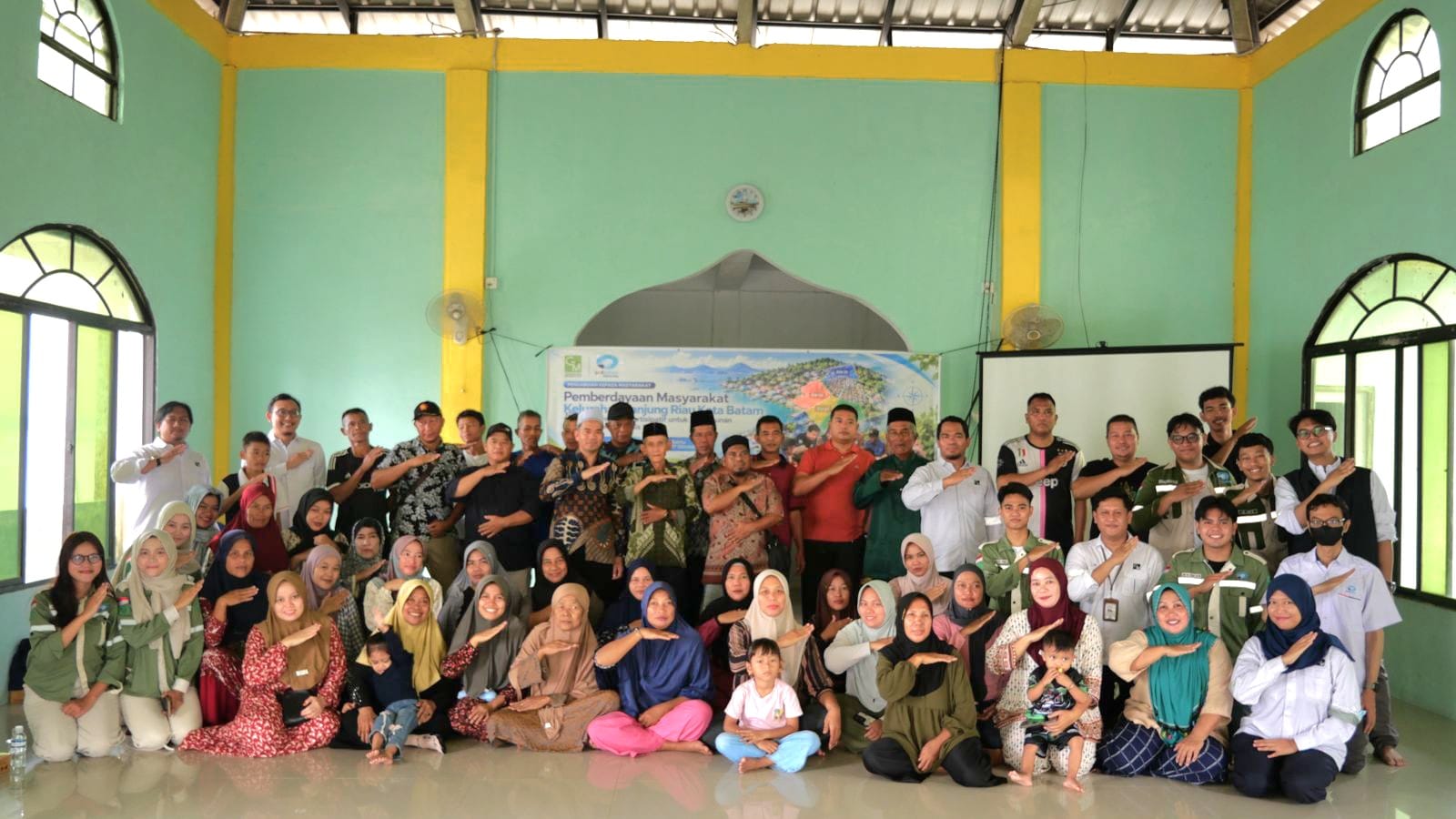
BATAM — Politeknik Negeri Batam (Polibatam), through the Community Service Team from its Geomatics Technology Study Program, held a community empowerment activity in Tanjung Riau, Batam, on Saturday, October 17, 2026. Titled “Empowering the Tanjung Riau Community in Batam through Participatory Mapping for the Preparation of GIS-Based Regional Maps,” the activity was led by Arif Rahman and involved students from the Geomatics Technology Study Program.
The activity aimed to improve residents’ understanding of geospatial information and involve them in identifying and validating the administrative boundaries of RTs and RWs—neighborhood and community units. The participation of lecturers and students also applied geomatics expertise directly to support community needs.
The program began with a session on how to read and understand maps. Residents learned about the basic function of maps as representations of information about an area. Participants then took part in participatory mapping by delineating, or identifying, RT and RW administrative boundaries. Residents contributed local knowledge to help identify these boundaries based on conditions in the field.
Community participation is an important part of preparing regional maps, as residents have firsthand knowledge of the areas where they live. Through this process, the indicative RT and RW boundary map will be validated with the community as a step toward preparing a boundary map agreed upon by local residents.
Farouki Dinda Rassarandi, Head of Polibatam’s Geomatics Technology Study Program, said the activity followed an earlier Project-Based Learning (PBL) initiative carried out by the program.
“This activity is part of our commitment to the Three Pillars of Higher Education, particularly by providing practical geomatics solutions that the community can use directly,” he said.
He added that involving residents in validating the indicative RT and RW boundaries is expected to support the preparation of a mutually agreed boundary map that benefits both the community and local government.
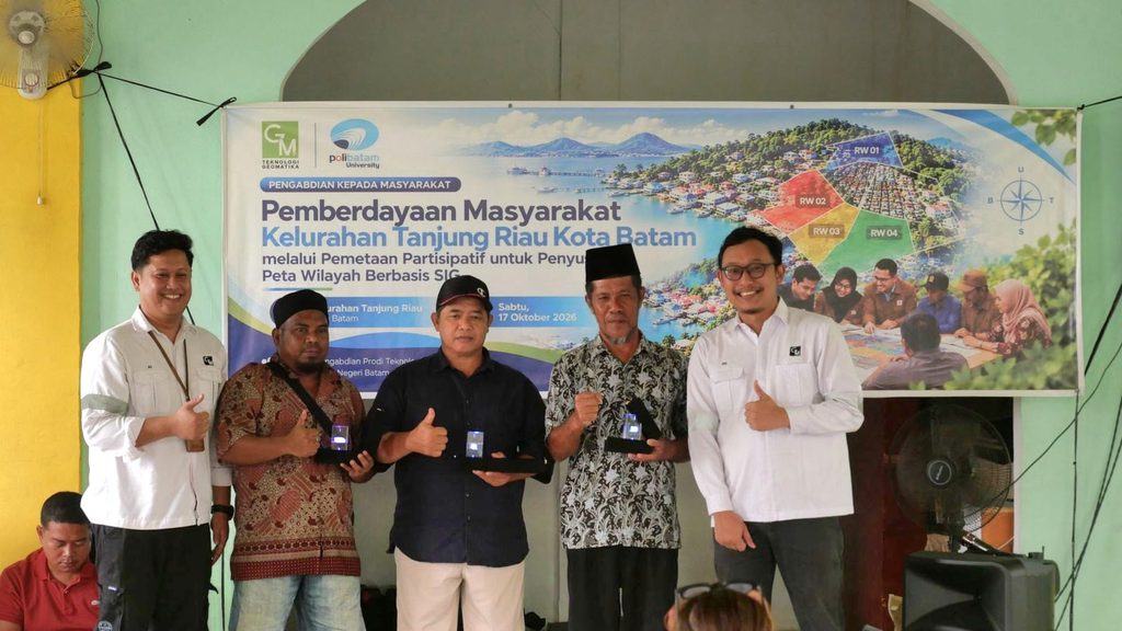
Awang Ramli, a community leader and Secretary of RW 01 in Tanjung Riau, welcomed the initiative. He said it had broadened residents’ understanding of how knowledge and education can benefit the local community.
“It is important to pass education on to our children, not only wealth. The Geomatics Technology team’s community service activity has broadened our perspective. It shows us that one practical benefit of education is the ability to map RT and RW boundaries in Tanjung Riau clearly,” he said.
Through this activity, Polibatam continues to promote the application of science and technology to address community needs. The initiative also strengthens collaboration between the university and the community while giving students the opportunity to take part in community service relevant to their field of study.
Greetings from Polibatam.
#Polibatam #ProjectBasedLearning #CDIO #CommunityService #GeomaticsTechnology #ParticipatoryMapping #GIS #TanjungRiau