Diploma 3 Geomatics Technology
PROGRAM EDUCATION OBJECTIVES
The Geomatics Technology program has three Program Educational Objectives (PEOs).
- Graduates of the Geomatics Technology program will achieve a successful career as professional engineers in surveying, specializing in Geomatics Technology measurement and mapping as well as Earth science, to deal with problems and challenges in their professional career.
- Graduates of the Geomatics Technology program can successfully engage in professional career development activities and maintain competitive edges in their lifelong learning through further education, research, and other professional activities.
- Graduates of the Geomatics Technology program should maintain relevance to their profession and adopt ethical and professional codes.
STUDENT OUTCOMES
The Geomatics Technology Student Outcomes represent the knowledge, skills, and abilities our graduates need to master by the time they finish the program. There are six Student Outcomes of the Geomatics Technology program.
- an ability to apply knowledge, techniques, skills and modern tools of mathematics, science, engineering, and technology to solve well-defined engineering problems appropriate to the discipline;
- an ability to design solutions for well-defined technical problems and assist with the engineering design of systems, components, or processes appropriate to the discipline;
- an ability to apply written, oral, and graphical communication in well-defined technical and non-technical environments; and an ability to identify and use appropriate technical literature;
- an ability to conduct standard tests, measurements, and experiments and to analyze and interpret the results;
- an ability to function effectively as a member of a technical team; and
- an understanding of professional and ethical responsibility.
MAJOR COMPETENCY
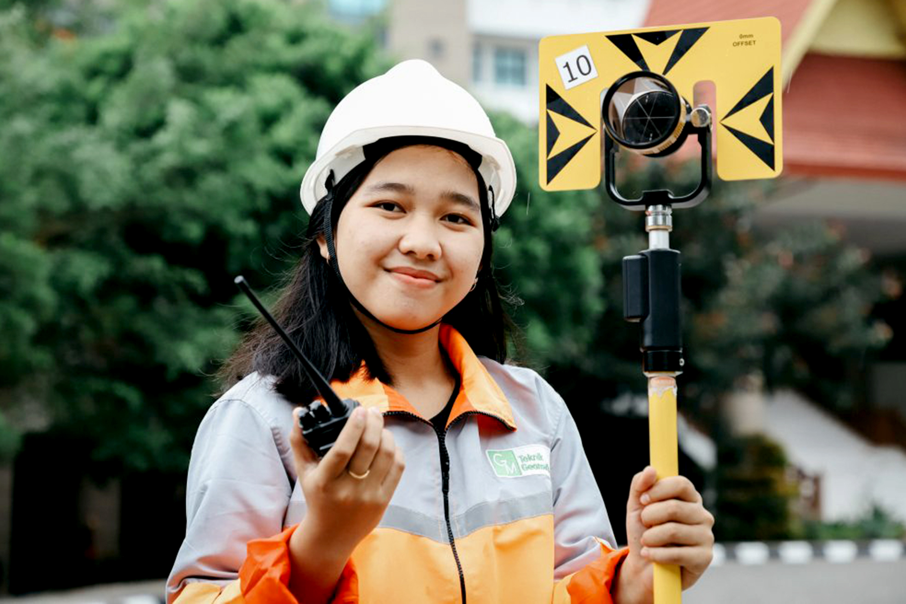
Able to complete work in the field of hydrographic surveys, specifically analyzing ocean tides, ocean currents, seawater samples, sedimentation of the seabed, sea depth (bathymetry) using Multibeam Echosounder, seabed using Side Scan Sonar, taking pictures of underwater objects using Remotely Operated Vehicle (ROV), analyzing soil layers under the seabed using a Sub-Bottom Profiler (SBP) and detecting magnetic objects above and below the seabed using a magnetometerGraduates of this program have the capacity in the field of processing geospatial data, i.e. data on geographic locations, dimensions or sizes, and/or characteristics of natural and/or man-made objects that are below or above the earth’s surface. There are 6 sub-fields of activity in the field of geospatial information, including terrestrial surveys, hydrography, photogrammetry, remote sensing, geographic information systems, and cartography.
JOB PROSPECTS
Graduates can work as terrestrial surveyors, hydrographic surveyors, and GIS technicians/specialists.
Terrestrial surveyor (occupation level: primary operator)
Hydrographic surveyor (occupation level: primary operator)
GIS technician/specialist (occupation level: primary operator)
GRADUATE COMPETENCIES
- Able to complete work in the field of hydrographic surveys, specifically analyzing ocean tides, ocean currents, seawater samples, sedimentation of the seabed, sea depth (bathymetry) using Multibeam Echosounder, seabed using Side Scan Sonar, taking pictures of underwater objects using Remotely Operated Vehicle (ROV), analyzing soil layers under the seabed using a Sub-Bottom Profiler (SBP) and detecting magnetic objects above and below the seabed using a magnetometer.
- Able to complete work in remote sensing, specifically performing image metadata, radiometric image pre-processing, geometric image pre-processing, composite and digital image mosaics, data collection, digital data extraction (multispectral and visual), spatial filtering for visual interpretation (histogram equalization, image enhancement, PCA, transformation) and use of remote sensing data.
- Able to complete work in the field of Geographic Information Systems (GIS), specifically converting geospatial data with the digitizing table method or on-screen, editing geospatial data, and testing the quality of geospatial data.
Download Kurikulum Download Akreditasi